A heat advisory remains in effect until 10 p.m. Thursday across the Chicago area. (Shutterstock)
ILLINOIS — Hot and humid weather will continue one more day before a cold front brings storms with slightly cooler temperatures, according to the National Weather Service.
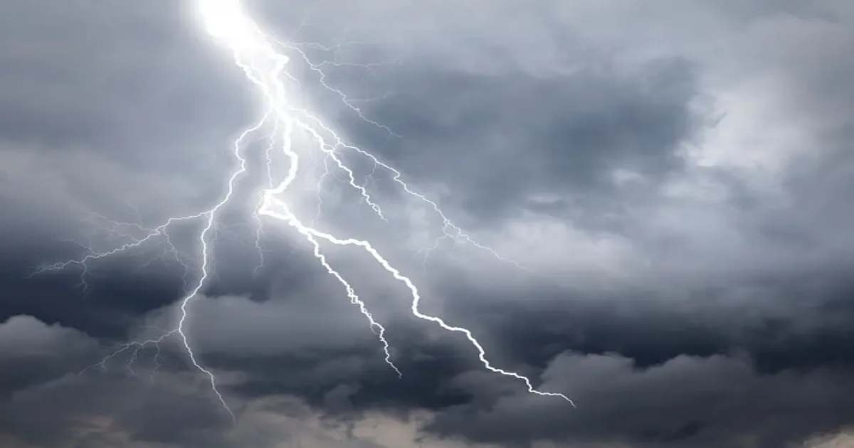
The weather service said storms will develop Thursday afternoon, with the strongest storms capable of producing damaging wind gusts to 60 mph and torrential rain.
A heat advisory remains in effect until 10 p.m. Thursday across the Chicago area. Peak heat afternoon heat index values of 110 are possible, the weather service said.
“Additional waves of heavy rain producing showers and thunderstorms are expected at times through Saturday,” the weather service said.

Friday will have a high of 86, Saturday a high of 88 and Sunday a high of 92. Storms are possible both Friday and Saturday, according to the current forecast.
Here is a more detailed look at the daily forecast, per the weather service:
THURSDAY: Showers and thunderstorms likely, mainly after 4 p.m. Partly sunny, with a high near 93. Heat index values as high as 104. Southwest wind 10 to 15 mph, with gusts as high as 20 mph. Chance of precipitation is 60 percent. New rainfall amounts between a quarter and half of an inch possible.
THURSDAY NIGHT: Showers and thunderstorms likely, mainly before 7 p.m. Mostly cloudy, with a low around 73. West northwest wind 5 to 10 mph. Chance of precipitation is 60 percent. New rainfall amounts between a half and three quarters of an inch possible.
FRIDAY: A 40 percent chance of showers and thunderstorms. Partly sunny, with a high near 86. Northeast wind around 5 mph, with gusts as high as 10 mph.
FRIDAY NIGHT: A chance of showers and thunderstorms, then showers likely and possibly a thunderstorm after 1am. Some of the storms could produce heavy rainfall. Mostly cloudy, with a low around 71. East northeast wind around 5 mph becoming south southeast after midnight. Chance of precipitation is 60 percent.
SATURDAY: Showers likely and possibly a thunderstorm before 1pm, then showers and thunderstorms likely after 1 p.m. Some of the storms could produce heavy rainfall. Partly sunny, with a high near 87. South southwest wind 5 to 10 mph, with gusts as high as 20 mph. Chance of precipitation is 70 percent.
SATURDAY NIGHT: Showers likely and possibly a thunderstorm before 7 p.m., then a chance of showers and thunderstorms between 7 p.m. and 1 a.m. Partly cloudy, with a low around 71. Chance of precipitation is 60 percent.
SUNDAY: Mostly sunny, with a high near 90.
SUNDAY NIGHT: Mostly clear, with a low around 74.
Get more local news delivered straight to your inbox. Sign up for free Patch newsletters and alerts.