It was the perfect mixture for chaos.
High humidity in the air? Check. Strong winds carrying moisture? Yep. Stationary thunderstorms interacting with each other? You bet.
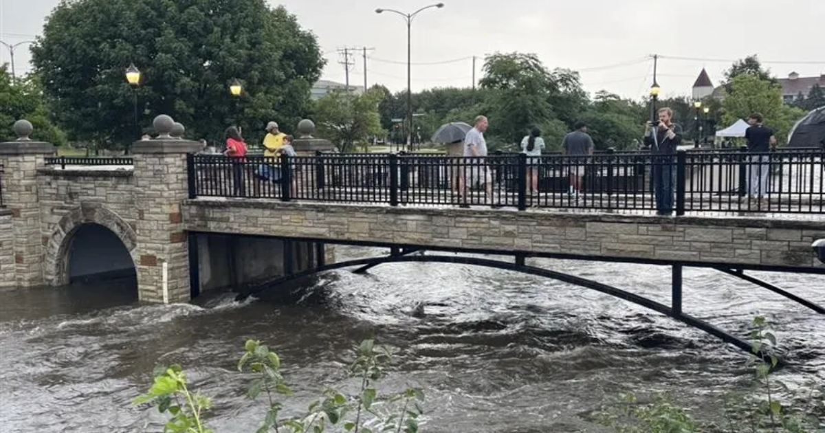
That myriad of factors that brought upwards of a foot of rain in places, left abandoned cars on streets, flooded basements, and broke river cresting records and more came together overnight Aug. 9 in the Milwaukee area at the same time, in the same place.
“Everything came together in one place to create the heavy rain that fell in that focused area,” Milwaukee-Sullivan National Weather Service meteorologist Sarah Marquardt said.
Shifting winds led to an increase in moisture in the atmosphere, which combined with earlier thunderstorms and triggered an additional round of storms — all on top of each other.
“Anywhere that had multiple rounds or more of ongoing thunderstorms just got really dumped on with more and more rain,” Marquardt said.
It meant the NWS’s prediction of two inches in Milwaukee was not only surpassed, but demolished. Instead, the NWS thought the heavy stuff would fall in west and central southern Wisconsin, with a projected 3-5 inches of rain west of Madison.