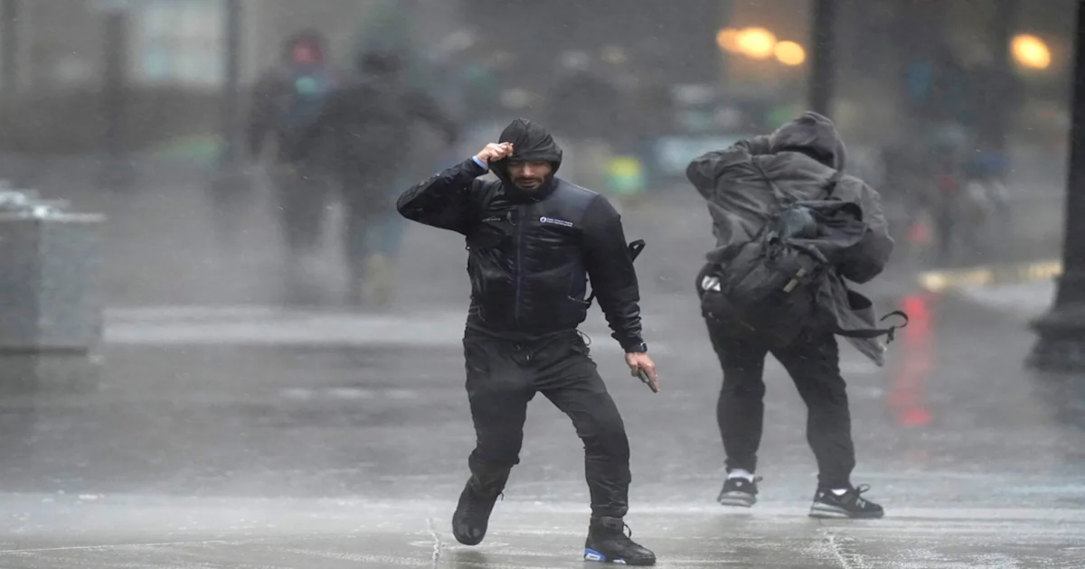
Massachusetts is expected to see what forecasters are deeming very heavy rainfall Thursday morning, prompting a flood watch to be issued for much of the state.
As much as 4 inches of rain could fall over Eastern Massachusetts, Connecticut and Rhode Island, National Weather Service forecasters wrote. A flash flood warning is in place for parts of Eastern Massachusetts, including Boston, Brockton and Quincy, while a flood watch is in place for a broader swath of the state, encompassing both Eastern and Central Massachusetts.
The flash flood warning is in place until 9 a.m., and warns drivers to avoid flooded roads. The flood watch, meanwhile, is in place until 4 p.m.
The rain will eventually taper off in the afternoon, moving west to east on its way out of the state, but persisting until early evening across Cape Cod and the Islands. Forecasters warned Western Massachusetts and Connecticut could see some isolated strong to severe storms.
Heat and humidity return on Friday with drier air drifting in. Temperatures are expected to climb into the 80s, with heat indices approaching 90. More thunderstorms are possible in the afternoon.
This weekend’s weather pattern appears to be more settled than the week, as an area of high pressure settles in east of New England. Temperatures should cool off slightly east of Interstate 495, with highs in the 70s or low 80s. It will be warmer in the interior, with highs in the mid to high 80s.
“At this time, there are no signals indicating a risk for severe thunderstorms,” forecasters wrote. “Any storms that do develop should collapse relatively quickly.”
The heat returns early next week, with highs climbing to the mid to high 80s on Monday and potentially clearing 90 on Tuesday.
More weather
Read the original article on MassLive.