Gusts over 75 mph are possible.
A dangerous derecho is expected to form in parts of the Northern Plains and Upper Midwest on Monday, with wind gusts over 75 mph likely.
A moderate threat for severe storms is in place for parts of South Dakota and Minnesota on Monday afternoon into the evening due to the threat of a derecho, a wind storm that can cause significant damage.
![]()
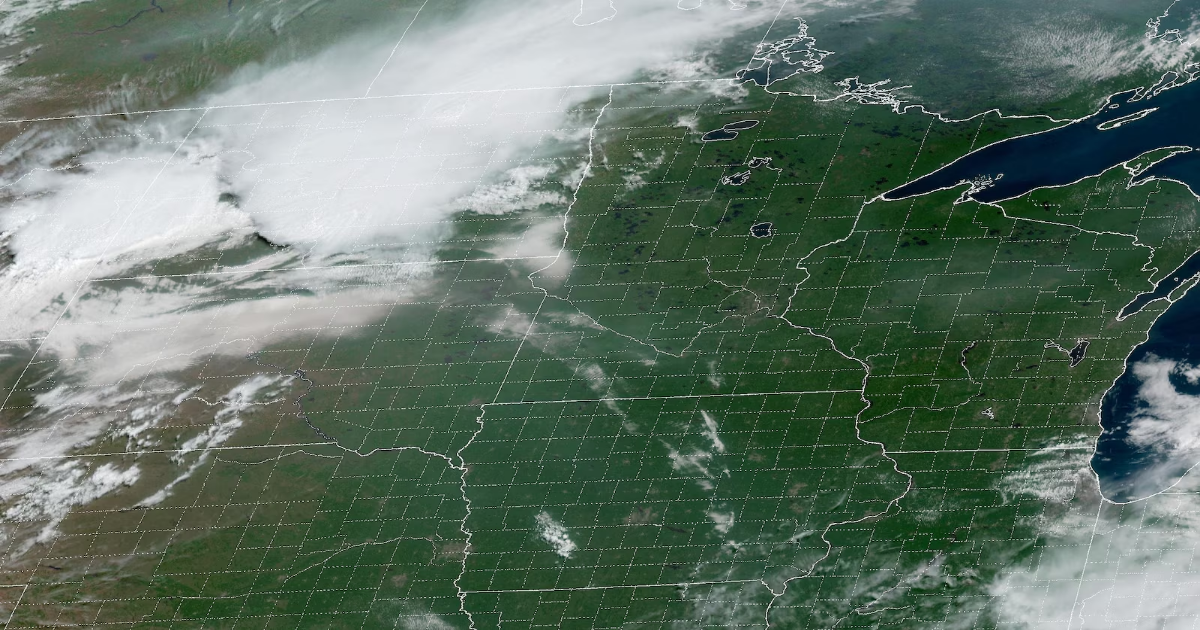
A satellite image of the Upper Mississippi Valley in the U.S., July 28, 2025.
A derecho is a long-lived, damaging wind storm. To be classified as a derecho, wind damage must extend about 250 miles long with wind gusts of at least 58 mph along most of its length — including several gusts of 75 mph or greater, according to the National Oceanic and Atmospheric Administration.
The storm, which is most common in the warm season, can be more destructive than a tornado, leaving significant damage to property, trees and power lines in its wake.
The derecho is expected to form over parts of eastern South Dakota by Monday evening and then surge east over a wide and long-track area into parts of southern Minnesota and northern Iowa, according to the National Weather Service.
![]()
![]()
![]()
Pockets of winds up to 80 to 90 mph are possible, according to the National Weather Service in Sioux Falls, South Dakota.

A moderate threat for severe storms is in place for parts of South Dakota and Minnesota on Monday afternoon into the evening.
Severe hail and a few tornadoes are also possible in the region.
Additionally, there will be a “heavy rainfall component to the derecho threat,” and isolated instances of flash flooding are also possible in portions of the Northern Plains into the Upper Midwest, the NWS said.